|
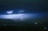
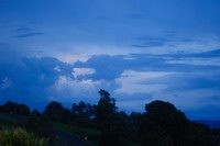
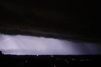
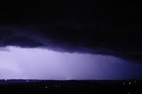
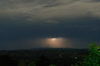
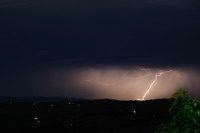
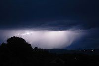
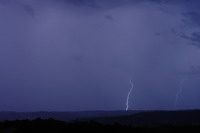
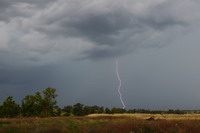
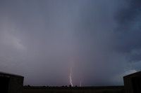
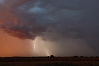
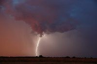
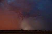
After a terrible 2009-10 storm season there were high hopes for 2010-11. It was not to be with the strongest La Nina event in Australia since 1974. This brings above average rainfalls and major floods - and far less normal thunderstorm days. These photos were taken from home at McLeans Ridges, NSW on 7th October 2010.
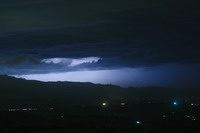
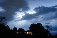
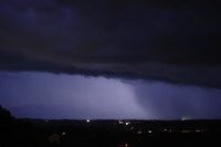
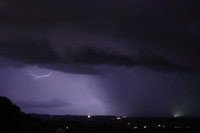
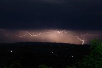
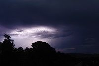
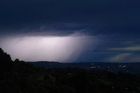
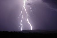
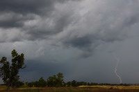
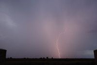
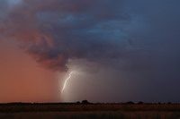
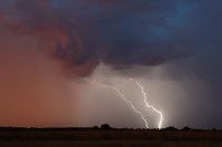
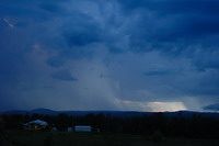
Another weak thunderstorm with these shots taken from home at McLeans Ridges, NSW.
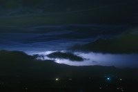
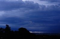
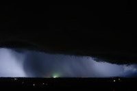
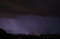
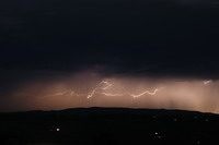
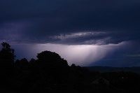
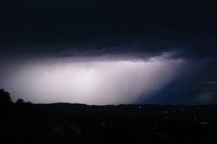
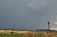
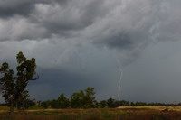
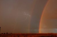
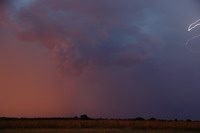
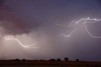
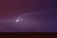
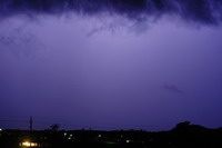
More weak thunderstorm though they persisted from late evening 16th Dec into pre-dawn 17th. These photos were taken from McLeans Ridges, NSW. October-December is normally the peak for severe thunderstorms but not this year with the La Nina weather pattern dominating eastern Australia. I managed to get one decent shot from a rouge bolt just out the front of home at 5AM ! Obviously I was a bit desperate to get some lightning at that time of the morning :)
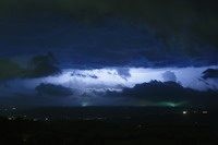
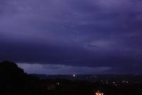
Early January 2011 provided an opportunity for a two-day inland NSW storm chase with Jason Peterson and Rodney Wallbridge. It also provided the first chance to try out the lightning trigger which I'd had for 10 months without any use. 3rd January we targeted Gunnedah to Coonabarabran with the first storm of the day spreading NE from Coonabarabran. This was followed by an exciting time dodging microbursts and hail. Later in the day we setup for photos near Wee Waa, NSW. The whole set of photos for this day can be viewed here.
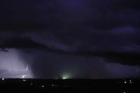
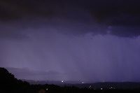
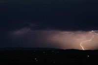
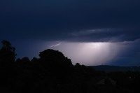
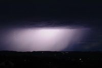
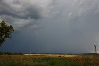
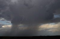
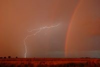
The next day we chased the western parts of the Northern Tablelands and did some sight-seeing. Storms were weaker but it was still a nice storm chase. These two photos were taken near Texas, QLD.
|